blah blah blah
Mt. Osceola
Length: 6.4 miles out-and-backDifficulty (click for info): Hard
Elevation Gain: 2050 feet
Rating (click for info): 8/10
Elevation: 4340'
Prominence: 2040'
Driving Directions:
Parking lot and trailhead are located on Tripoli Road in Livermore, NH. Tripoli Road is best accessed from Rt. 49 in Waterville Valley. It is 10.2 miles north of Rt. 93 at exit 28. Follow the signs for Waterville Valley Ski Area but bear right at the entrance to stay on Tripoli Road. The large parking lot is on the right, 4.5 miles from Rt. 49 and just after the road turns to dirt.
About the Hike:
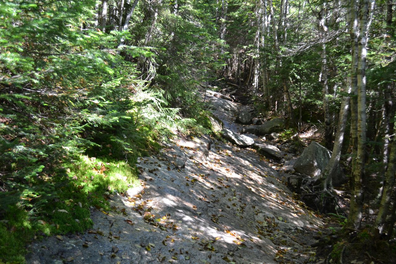
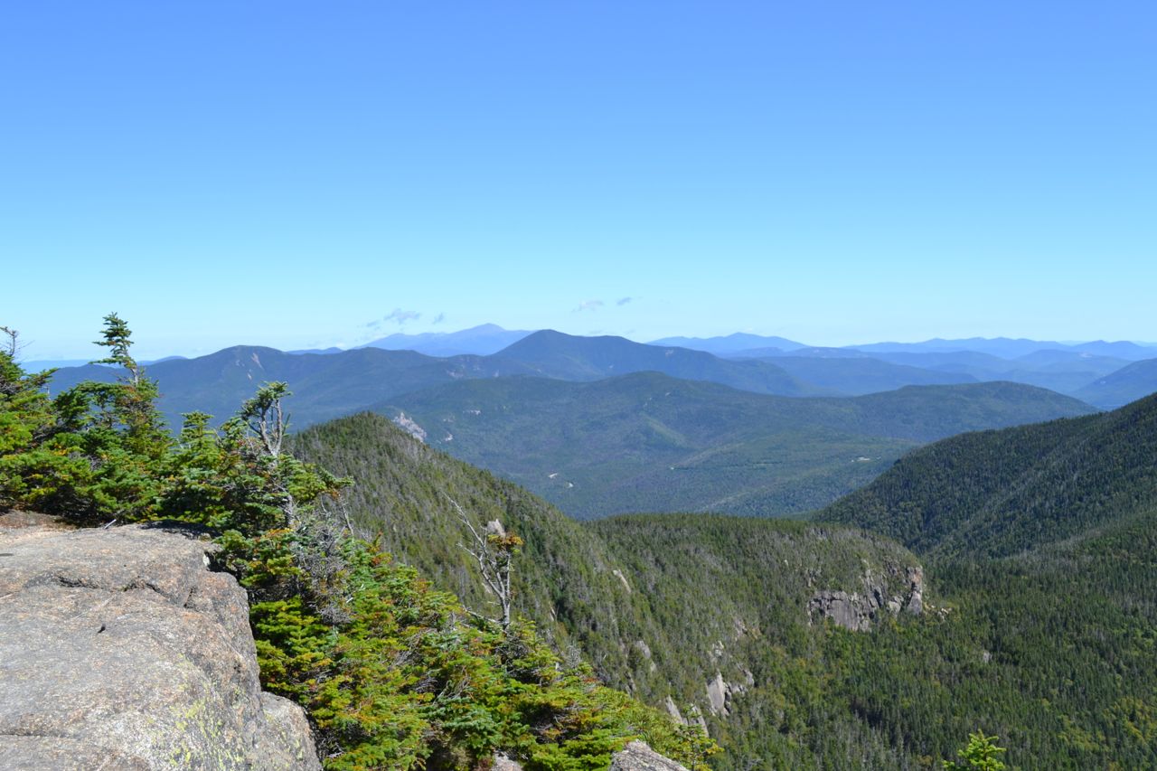
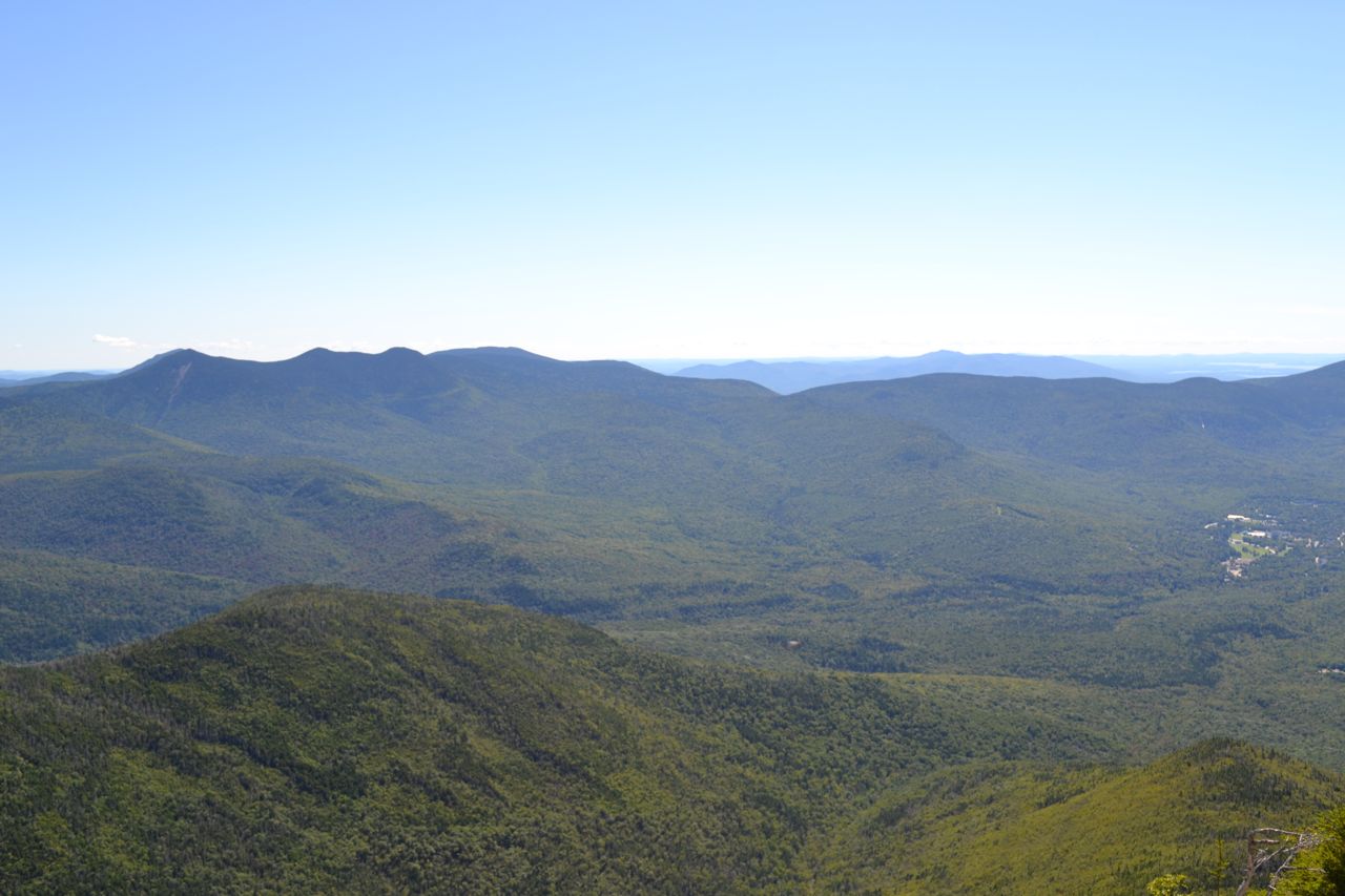
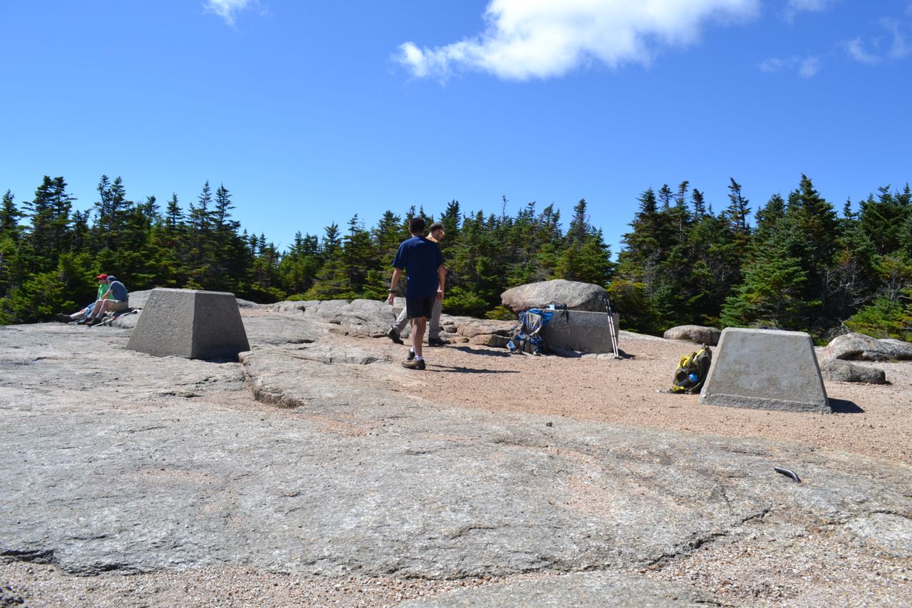
Mt. Osceola is considered one of the easiest New Hampshire 4000-footers to hike. The trail is rocky, but not too steep, and the reward is excellent. The trail begins in Thornton Gap, the pass between Mt. Osceola and Mt. Tecumseh. Head to the far end of the parking area and begin hiking on the Mt. Osceola Trail. The unusually rocky trail climbs slowly upward across the slope, crossing several small streams. After a while, the trail turns left, goes through a few switchbacks, then heads toward the top of Breadtray Ridge. The trail reaches the ridge top at about 1.5 miles. From this area, the summit may be glimpsed through the trees. The trail briefly runs flat, with one minor descent, then continues climbing. In just over half a mile, the trail crosses a cascading brook and soon begins switchbacks. In some sections, there are angled rock slabs on the trail which can be very slippery. Limited views can be had from the highest switchbacks. Near the top, the trail abandons the switchbacks and heads straight uphill at a more gradual grade. The summit, marked by fire tower footings, is reached at 3.2 miles from the parking area. Here, a side path on the left leads to a protruding rock which yields a directional view over the Pemigewasset Wilderness. The trail continues a few hundred yards out to Osceola's viewpoint ledge and the site of its most recent fire tower.
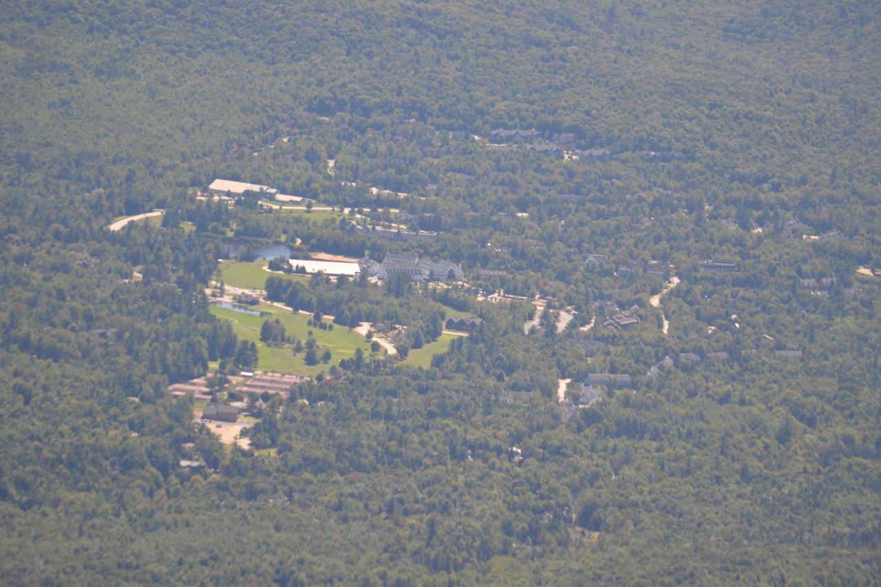
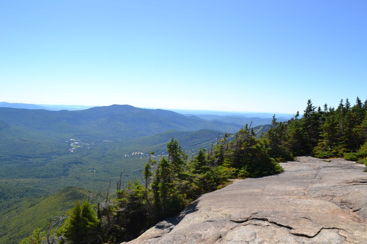
The directional view looks east, directly over Waterville Valley. To the north, you can see Mt. Washington over Mts. Hancock and Carrigain. Further to the east is the Carter-Moriah Range and the smaller ranges near North Conway. Next over, and very close, is East Osceola, with the long ridge of Mt. Kancamagus behind. In the center of the view, over the valley, are the Tripyramids. Continuing over to the south, the Osipees are seen in the distance, with Sandwich Dome closer by and to the south. All the way to the right, you can see the ski trails on Mt. Tecumseh. If you're ready for more, extend your journey to the scenic viewpoints on East Osceola.
Printable directions page